
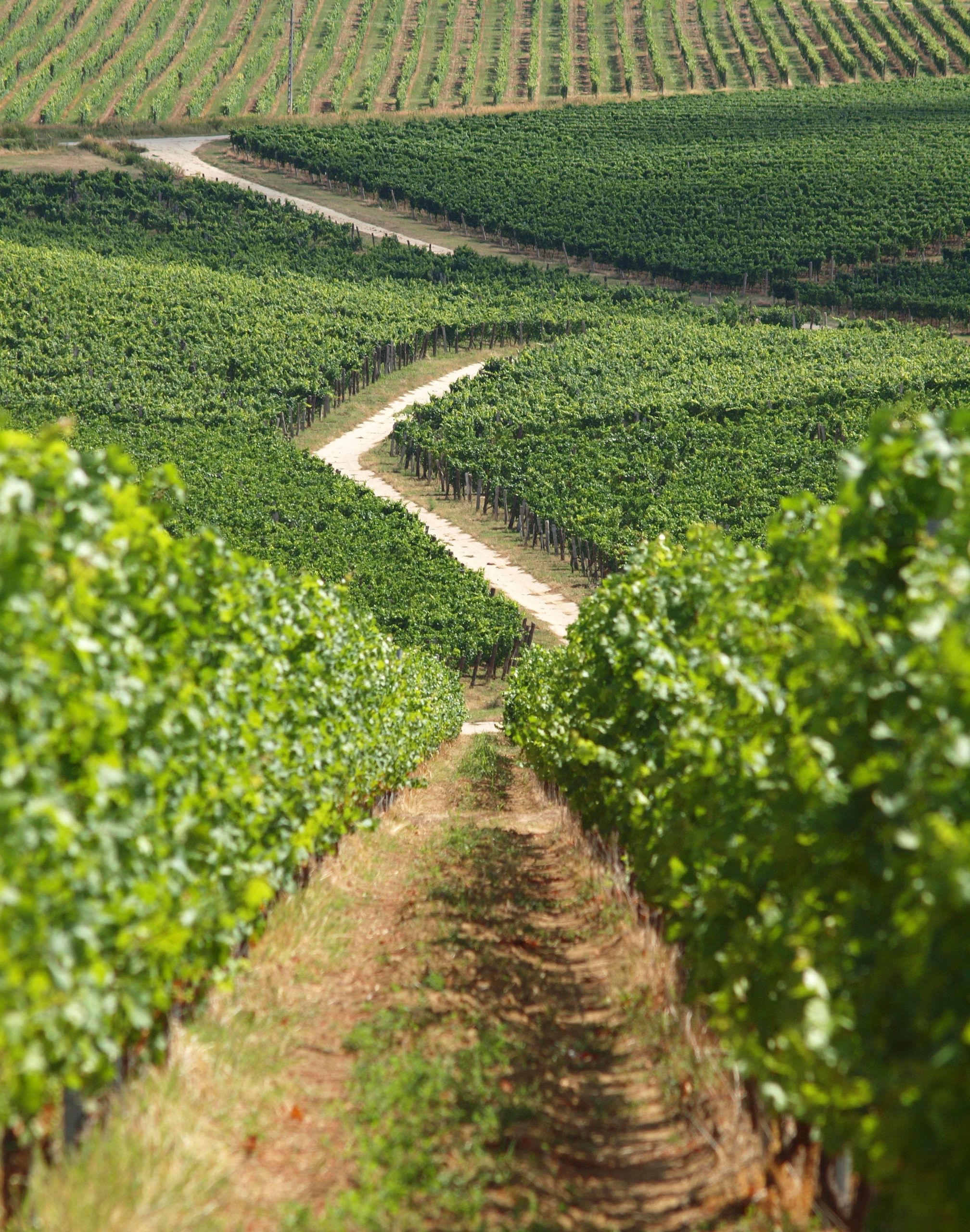
PiMapping® delivers quantified information on crop growth and water use for every pixel on the earth surface, no indices but real numbers.

SEBAL and ET-Look are the core algorithms eLEAF uses to produce PiMapping® data components. Both solve the energy balance at the earth’s surface.

FieldLook puts all the data you need to optimise your yield at your fingertips. Whether you want to keep an eye on your crop from your office desktop.


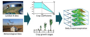
A new approach to estimate daily evapotranspiration, based on Landsat data and FAO56 principles
We are thrilled to share with you a brand new publication, co-authored by our colleague, Abdur Rahim Safi: A new approach to estimate daily evapotranspiration,
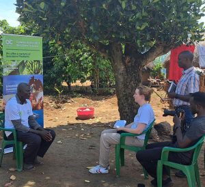
Empowering Ugandan Farmers: Innovating Insurance for Resilience
From May 8th to May 12th, we had the privilege of visiting Uganda to witness the impactful project, Index Insurance in Uganda, a real business

eLEAF and RESING sign partner agreement
At SIAM Corné van der Sande from eLEAF and Mohamed Aboufirass from RESING officially signed the Value Added Partner Agreement between the two companies. This way we continue our